informe de investigación
Unstable Slopes: Poor Urban Planning and Risk Mitigation
2025
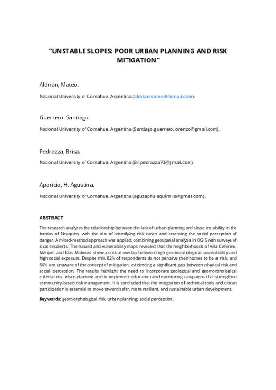
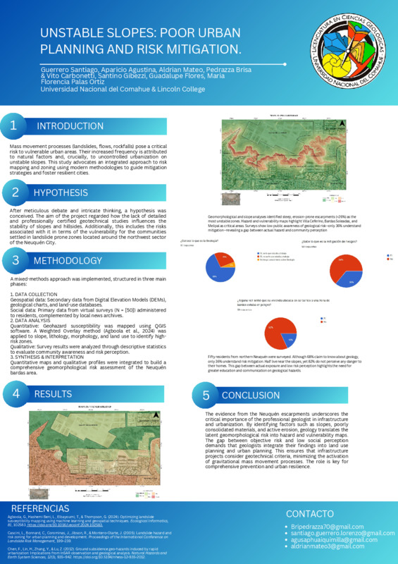
The research analyzes the relationship between the lack of urban planning and slope instability in the bardas of Neuquén, with the aim of identifying risk zones and assessing the social perception of danger. A mixed-method approach was applied, combining geospatial analysis in QGIS with surveys of local residents. The hazard and vulnerability maps revealed that the neighborhoods of Villa Ceferino, Melipal, and Islas Malvinas show a critical overlap between high geomorphological susceptibility and high social exposure. Despite this, 82% of respondents do not perceive their homes to be at risk, …